 Catalogue Datasud
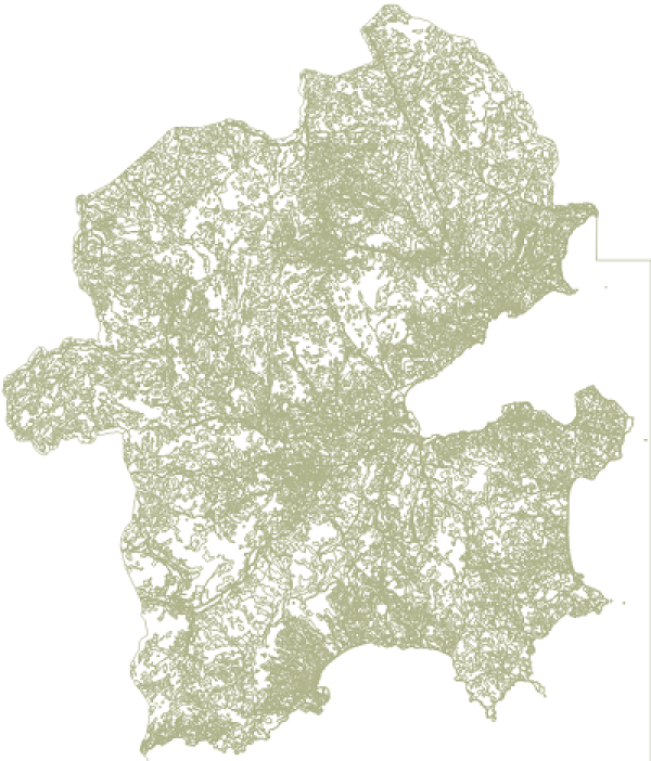
Mode d'occupation du sol du golfe de Saint-Tropez_2003
Occupation du sol vectorielle à grande échelle de 2003 dans le cadre du Schéma de cohérence territoriale ( SCot) sur le territoire du Golfe de Saint-Tropez.
Nomenclature de 67 postes sur 5 niveaux compatible avec la nomenclature 4 niveaux
Projection : Lambert 93 (conforme au RGE)
Simple
- Date (Creation)
- 2022-06-15
- Identifier
-
28c67f43-654c-4038-958d-5973e9f85a51
-
GEMET - INSPIRE themes, version 1.0
-
-
Étendue géographique des données
-
- Theme
-
-
occupation
-
MOS
-
SCoT
-
OCS
-
usage du sol
-
sol
-
- Access constraints
- otherRestrictions Other restrictions
- Spatial representation type
- vector Vector
- Metadata language
- freFrançais
- Topic category
-
- environnement-et-climat
- limites-administratives-et-referentiels
- OnLine resource
-
mos_ccgst_2003.zip
(
OGC:WMS
)None
- OnLine resource
-
mos_ccgst_2003.zip
(
OGC:WFS
)None
- Hierarchy level
- dataset Dataset
- Statement
-
Non renseigné
- File identifier
- 28c67f43-654c-4038-958d-5973e9f85a51 XML
- Metadata language
- freFrançais
- Hierarchy level
- dataset Dataset
- Date stamp
- 2018-02-28
- Metadata standard name
-
INSPIRE Metadata Implementing Rules
- Metadata standard version
-
Technical Guidelines based on EN ISO 19115 and EN ISO 19119 (Version 1.2)